Showing posts with label CA.. Show all posts

Thursday, May 24, 2012

Park 17: Redwood National Park, CA: We were greeted today with our first overcast and rain of the trip.  It dampened any desire for extensive hikes as we visited the giant redwoods. 

To say it simply, we stood among giants today.  Few words can describe these tall, ramrod straight trees.  Groves of redwoods block out any sunlight that tries to get through and you find yourself among these trees in a quietness that's hard to describe.  Our one short hike took us into the Lady Bird Johnson Grove of redwoods.

The national park intermingles with numerous California state parks and campgrounds with Highway 101 running through its middle as it traverses up the coastline for about 40 miles.

We exited the park at its north entrance to make the drive towards our next stop.  This route took us through Grants Pass in Oregon before turning back south towards California as we drove through our first snowfall.
Driving through the redwoods
with inches to spare
Redwoods in Lady Bird Johnson Grove
Odometer: 7,738 miles.


Tuesday, May 22, 2012

Seashore 1: Point Reyes National Seashore, CA: We headed north from Ventura, crossing the Golden Gate Bridge enroute to an overnight stay at Pt. Reyes.  This required a twisty, windy 30 mile drive along Highway 1, hugging the coast to the left and the mountains to the right - up, down and around every curve! 

This stop was an unexpected delight.  The surprise is that Pt. Reyes is directly on top of the San Andreas fault!  Although not a national park, we thought this national treasure was worth an entry in the blog. 

We checked into the Pt. Reyes Seashore Inn late in the afternoon and then drove Sir Francis Drake Drive to the lighthouse at Pt. Reyes.  The 22 mile drive took us from a small coastal community, Inverness, into windy, hilly, flowing grasslands home to numerous dairy farms.  Sir Francis Drake landed here many years ago providing the basis for naming many of the landmarks and giving us Drakes Bay oysters.  This is worth another trip back to more fully enjoy!
Sir Francis Drake Drive to the lighthouse
Pt. Reyes seashore from the lighthouse
Odometer: 6,898 miles.

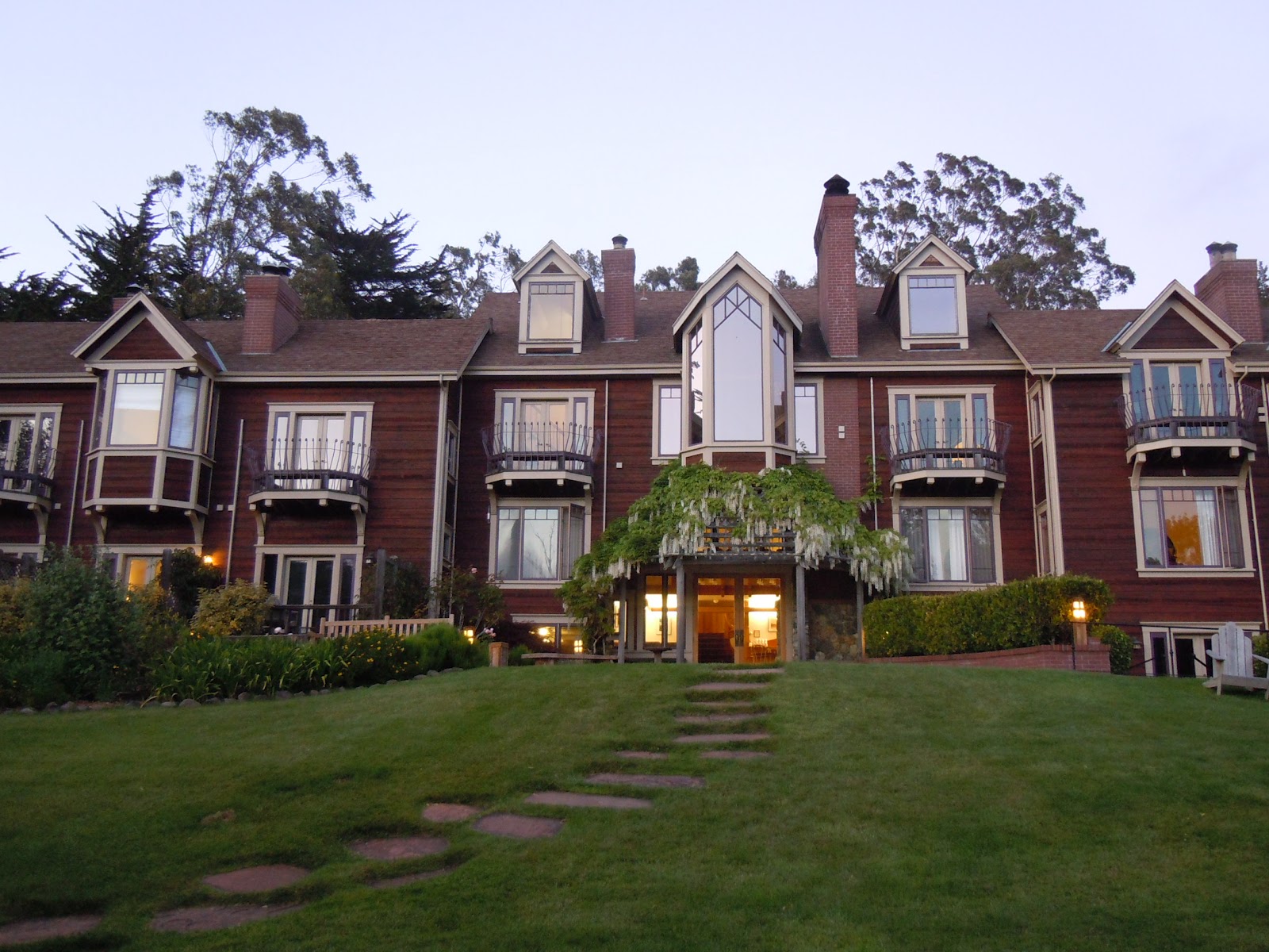
Pt. Reyes Seashore Inn

Monday, May 21, 2012

Park 16: Channel Islands National Park; Santa Cruz Island, CA:  Spent an interesting day on Santa Cruz Island after a one hour, 21 mile, ride on the Island Packers high speed catamaran.  The 22 mile long island off the coast of Ventura, CA is the largest of the five islands that comprise the park.  Enroute we were delighted to cross a huge school of bottle nose dolphin that was feeding in the channel.    The dolphin followed alongside and raced the boat, darting in and out of sight, playfully jumping the wake for fifteen minutes!  The ship captain estimated that they numbered over 1000 and we would agree!
Santa Cruz was the home of the Chumash Indians for many years until the Spaniards arrived in the 1700’s and gradually pushed them to the missions on the mainland.  In the late 1800’s the island was turned into a ranch for sheep and pigs.   Since becoming a National Park in 1980, the park rangers have removed the nonnative species, both plant and animal, to return the island to its earlier existence.
Overlook at Cavern Point
We spent the day hiking the diverse windswept island of steep volcanic hills, grassy meadows and rugged ocean shoreline.  A naturalist led our small group of 14 to the top of Cavern Point, then we were on our own to explore.   After a rough five mile loop fighting the wind, and a picnic in the middle of a grassy trail, we returned to the rocky beach by 4:00 to catch the return ferry.  Except for two spartan campgrounds, there were no amenities or services on the island! 
Trail to Potato Bay
Beach and landing at Scorpion Bay
Odometer: 6,454miles.

Saturday, May 19, 2012


Pauses along the way:  Even though Yosemite had taken us to the center of the state, it was worth the 300 mile detour to LA to visit great friends living at Marina Del Rey.  Staying aboard their 52 foot beauty for the weekend, we enjoyed a day sail to watch the CA Cup, an annual racing weekend of the California Yacht Club, a morning walk through Venice Beach and just wining, dining and catching up with dear friends who have embraced their new life on the water.   

This change in direction also set us for a nice visit with a cousin and her daughter in Santa Barbara; their charming hillside home on Foothill Lane offers a beautiful view of the Pacific!  They treated us to a scrumptious seafood dinner at The Boathouse and after “checking out” in the morning, we drove down to the beach for breakfast before continuing the drive up the scenic coastal Highways 1 and 101 to Port Hueneme. 
CalCup yacht race
Good friends Kenny and Betsy
 Odometer: 6,310 miles.

Me at the helm

Thursday, May 17, 2012

Park 15: Yosemite National Park, CA:  The 130 mile trip to Yosemite took us through familiar country, reminding us of happy days living here in the San Joaquin Valley.  Although we had visited Yosemite, we were still awe struck at our first sight of the mile wide, seven mile long canyon from the tunnel view overlook!  This granite panorama which encompasses El Captain, Half Dome, Sentinel Rock, Cathedral Rocks, and the 620 foot Bridalveil Falls has been called the most photographed vista on Earth!
Yosemite Valley from Tunnel View

Yosemite Falls
Our stop here was brief as we have enjoyed this park with our girls several times, but the stay at the historic Awahnee, which opened in 1927, was a first.  Although we had reserved a cabin just yards from the lodge, because of some glitch, we were given a room in the main lodge adjoining the Presidential Suite.  We had use of the large private balcony facing Half Dome and Yosemite Falls, so we didn’t complain too much!  Sunset cocktails on the balcony were followed by a delightful dinner in the timbered candlelit dining room with 30 foot tall craftsman style windows showcasing the giant sequoias against the jagged granite cliffs.  After two nights in a tent, this was pure luxury!
View from room balcony
Odometer: 5,999 miles!   
Upper and Lower Yosemite Falls


Parks 13 and 14: Kings Canyon & Sequoia National Parks, CA:   We left Death Valley through the breathtaking Emigrant Pass and then snaked our way back down into the desert where John trained in FA-18’s, just north of China Lake Naval Weapons Station.  The terrain changed from barren dessert to rocky rolling hills studded with Joshua trees, before running directly into the Sierra Nevada Mountains.  Out destination was only 50 miles west of our location, but we had to drive an additional 250 miles around the mountain range to enter the parks from the west. 

Joshua tree enroute to Kings Canyon
The scenic drive took us through several ecosystems as we followed the Kern and Kings Rivers through abundant fields, orchards and vineyards until we finally reached Zephyr River Expeditions where the blacktop stopped at our campsite on the Kings River just outside Kings Canyon NP.  When we discovered we were the only campers there that night, a Deliverance flashback hit us, but our river outfitters turned out to be perfect hosts and took us on an exciting 10 mile, 17 rapid whitewater rafting trip the next day!  
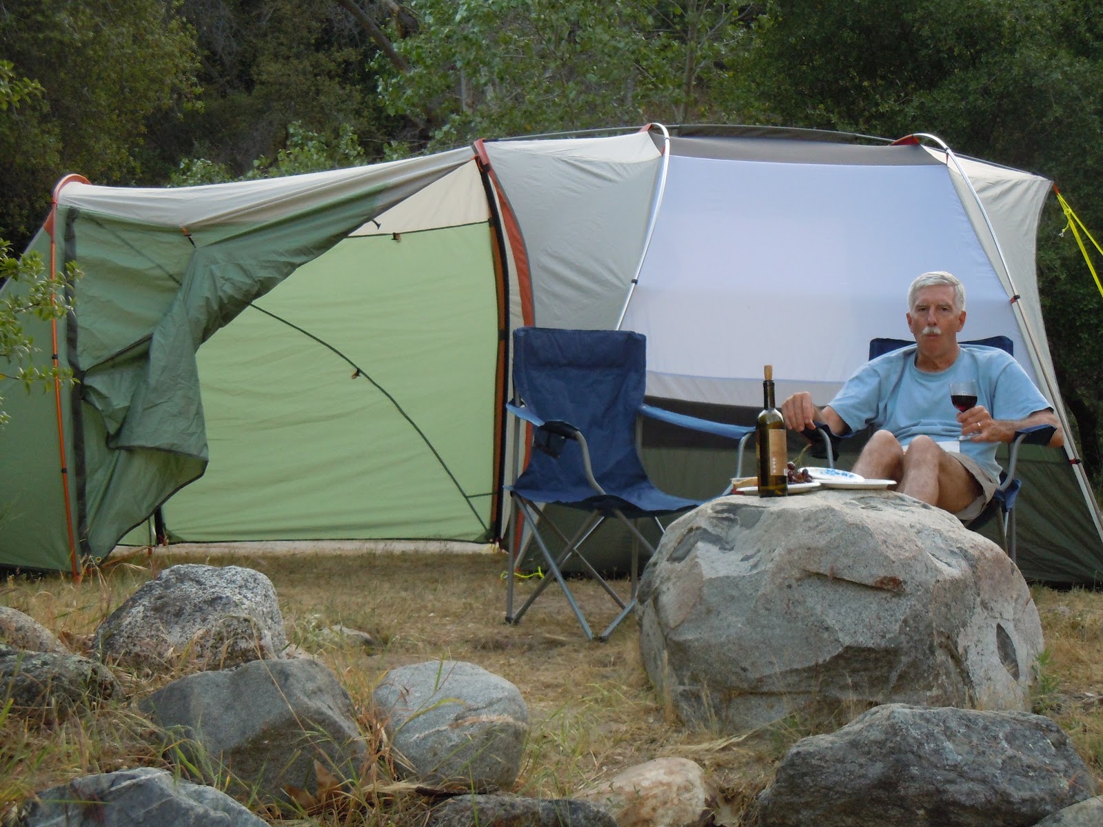
Kings River campsite happy hour
We camped two nights then drove into the two National Parks which have been jointly administrated since 1943.  The two contiguous parks are 66 miles long and 36 miles at their widest point, with over 800 miles of wilderness trails!  Our brief visit to the two immense parks consisted of the 30 mile drive along Generals Highway which connects the two parks to see General Grant and General Sherman, the legendary giant sequoias about 2100 years old.  We enjoyed quite walks in both groves in awe of their natural beauty and in appreciation for the men who in 1890 successfully established Kings Canyon to save the trees from lumbering. 
General Sherman sequoia

Odometer: 5,713
Rafting on Bonzai rapid Kings River
General Grant sequoia

Monday, May 14, 2012

Park 12: Death Valley National Park, CA: 
One of the most unusual and grotesquely beautiful scenic wonders of the world!
Back to nature!  The 120 mile drive into Death Valley was as you would expect—stark and desolate.  The temperature began climbing and reached 108 by the time we arrived at Furnace Creek Ranch, our lodging for two nights.  Here we explored the vast desert floor, uniquely different every mile or two, from rocky, to sandy, to salty, to mud baked and even marshy at points, in this largest National Park south of Alaska---3.4 million acres!  
Badwater Basin from Dante's Peak
Scotty's Castle
We made short hikes and long drives taking in the grotesque beauty of this place.  A highlight of this park, and a real surprise to find in such a God forsaken place, was a Mediterranean style castle built in 1922 known as Scotty’s Castle; an entertaining park ranger, clad in period clothing, led the tour through this amazing property that still contains all its original furniture, art work and personal items of the owners.   
Golf 208 feet below sea level
John put a check in the box by playing golf at the lowest golf course in the world.  He teed off at 7:00am with a temperature of 85 degrees, and finished at 10:00am at 97 degrees, well before it hit the high of 113 for the day!  We cooled off with a swim in the spring fed pool which maintains a constant 82 degree temperature.  On to mountains with green trees and cooler temperatures!
Odometer: 5,316 miles
....and the road goes on and on....
Salt flats at Badwater Basin
232 feet below sea level
Sunset over Death Valley
High prices for a captive audience!